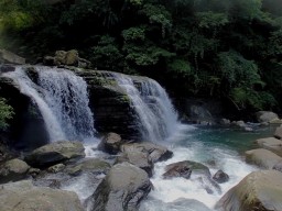
River traces around North Taiwan
Filter Traces
-
Gino
River:
加九寮溪 / Jiajiuliao riverArea:
TaipeiRegion:
NorthStart:
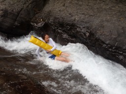
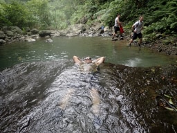
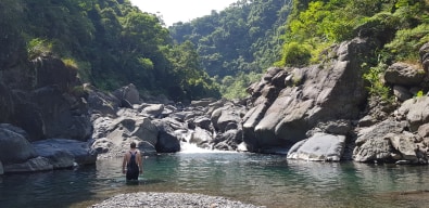
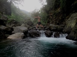
24.884249, 121.538829Easy trace located quite close to town. Perfect for someone just looking to get into river tracing. The ending GPS location will get you to an area with a big slide that is quite fun, and quite safe. The final pool is deep so make sure you know how to swim. Some people I know have taken dogs on this trace up until the waterslide so thats possible if ... you want to give it a go. You can take the left-hand fork away from the main pool you end up at and go slightly further up to find a small pool to relax in. It should be easy to recognize as it's shaped a bit like a very specific part of the male anatomy. You can either continue further up this stream, though it does get a harder quite and I wouldn't suggest it unless you more experienced (only went 20 mins up myself, though would like to go back with more time as it looks fun) or find a trail on your left-hand side if you're facing upstream you can use to walk back to where you started. If that all seems a bit confusing check the photos for a drawing -
 Mark
Mark
River:
UnknownArea:
TaipeiRegion:
NorthStart:
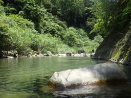
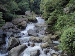
24.85745701317228, 121.5624583307028This is a very simple trace just south of the town in Wulai. The starting point is behind the blue pieces of sheet metal along the road, and there is a path behind them that leads to the the stream. It would be best for you to start here instead of by the elementary school because it is very easy to miss the exit. Depending on the water level, this ... trace can be categorized as easy to medium. Along the trace there are numerous pools to swim in. -
Mike
River:
中坑溪 / Zhongkeng riverArea:
TaipeiRegion:
NorthStart:
24°47'43.6"N 121°29'35.4"EThis trace starts out very close the road. It quickly goes strait upwards. It is not a flat trace in any stretch of the way, but has some great waterfalls to climb over. -
Gino
River:
中坑溪 / Zhongkeng riverArea:
TaipeiRegion:
NorthStart:
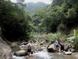
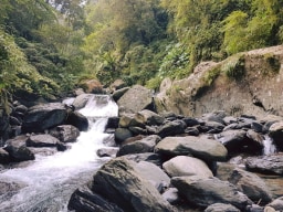
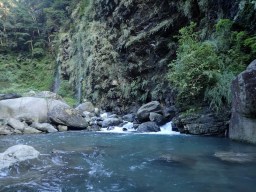
24.841285,121.459937Located not too far away from Taipei city this makes for a perfect day trip. If you aren't up for river tracing it is possible to hike in and out to the waterfall at the end, though the trace is more scenic, enjoyable and makes for a better adventure than the hike in my opinion. This is a nice easy river trace through a wide-open valley with nice ... mountain views on either side. You can park at the GPS point and walk further along the trail than you are able to drive to get down into the water. You should be able to get into the water just above one major waterfall, you can walk back and take a look at it if you want before heading forward. The way upstream is a bit tiring but there are no major obstacles till the ending GPS point where you will find a large waterfall with a nice pool or swimming in below teeming with fish. You can take one of the two branches at the fork further up than the waterfall if you wish, the climbing becomes a bit more difficult and you shouldn't continue this way unless you are confident in your abilities. -
Gino
River:
宇內溪 / Yunei riverArea:
TaoyuanRegion:
NorthStart:
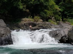
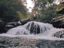
24.791821, 121.391380A really nice trace within a day trip from Taipei if you wake up early. This is within my top 3-day trip traces from Taipei I would say. The first 20 mins or so isn't anything special, however, once you climb over around the "man-made waterfall" it gets gorgeous quite quickly. There are tons of waterfalls, clean water, great landscapes, cliff faces ... to the side of you, and you really do feel "in the wild". You will at a certain point reach a fork, we stayed to the right at the fork and continued on till the end. If you wanted you could try left though I am unsure what you will find. At the very end if it has been raining you will find one massive final waterfall. From there you are going to need to backtrack to around the waterslide. From the waterslide, there should be a trail on your left-hand side you can use to get out.
