 Gino
Gino
Starting Location
Edit 24.884249, 121.538829Ending Location
Edit 24.877004, 121.528312Time needed
EditAround 3 hours round trip at a moderate pace
Safety
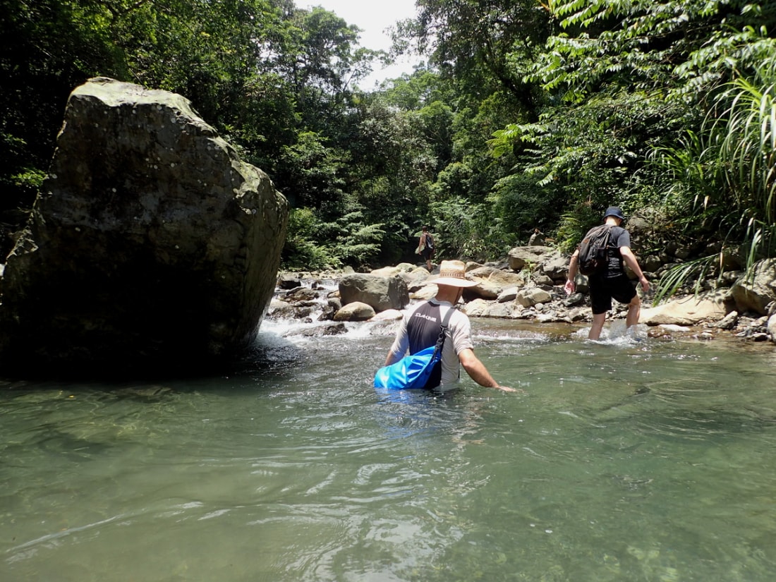
EditThe trace its self is fairly easy. This area is prone to flooding though so keep an eye on the weather and be aware that there have been hornets spotted on the trail leading out.
Equipment
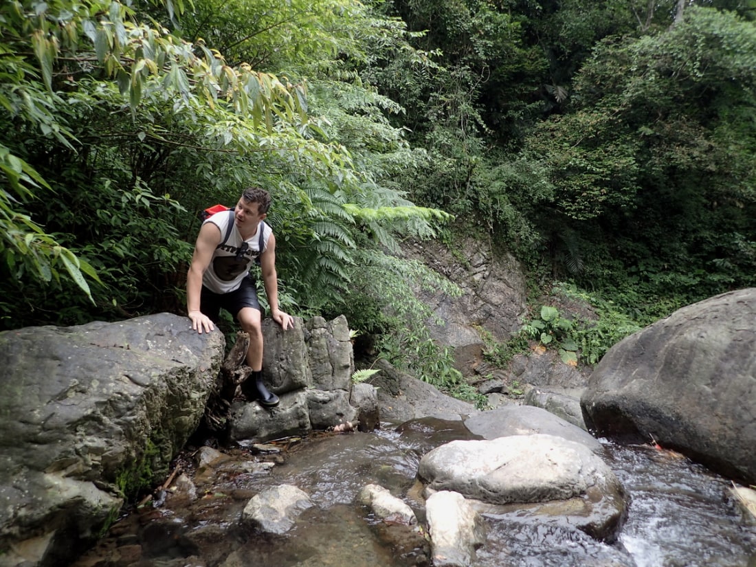
EditThem ever so sexy tracing boots
General information
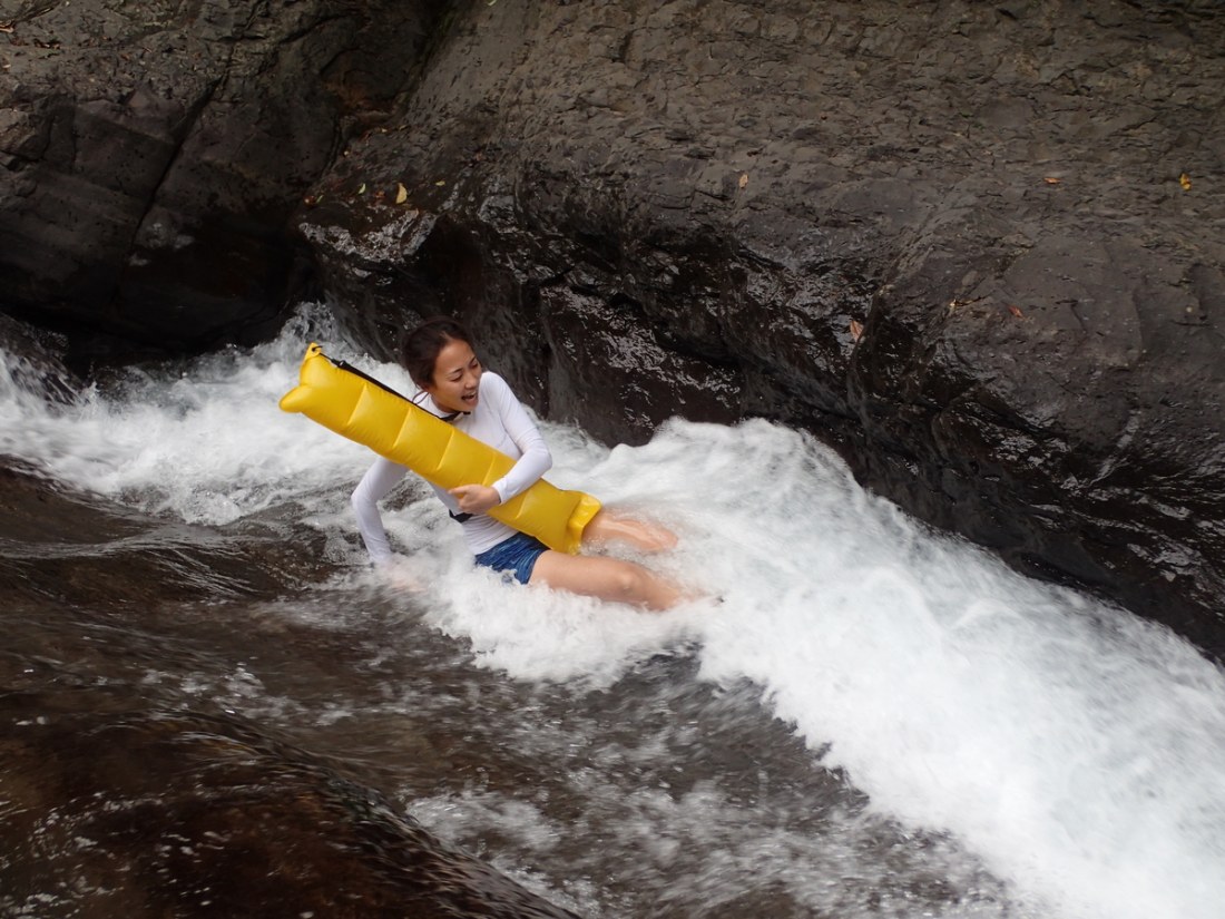
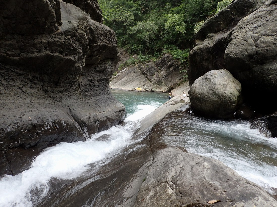
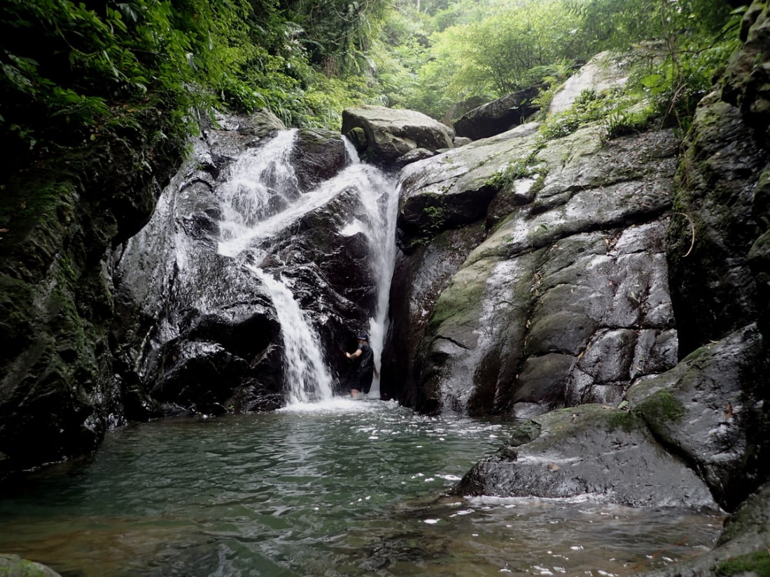
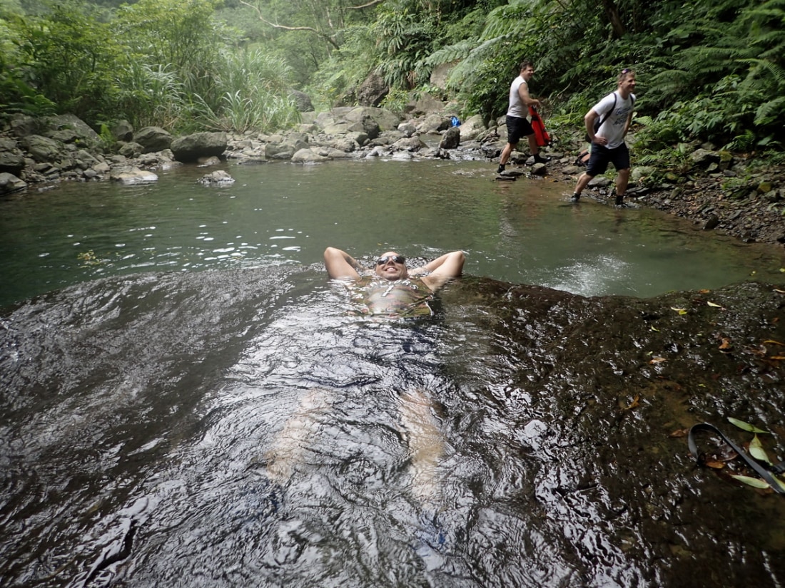
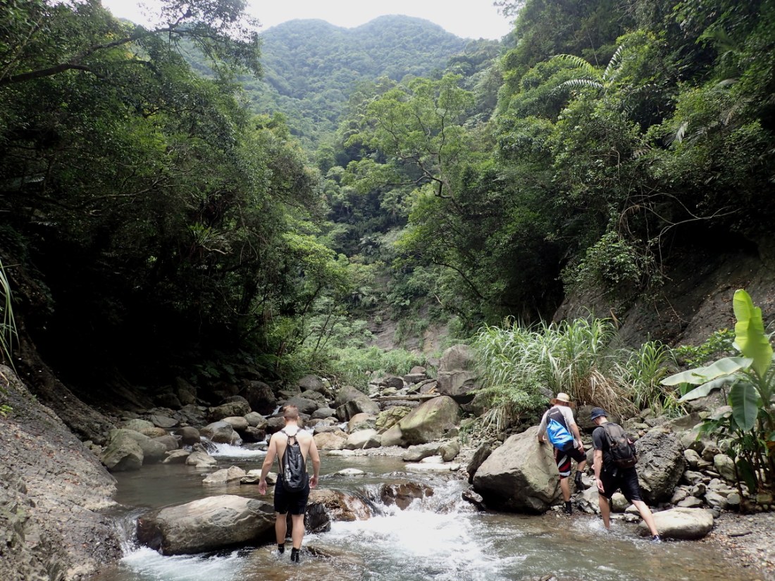
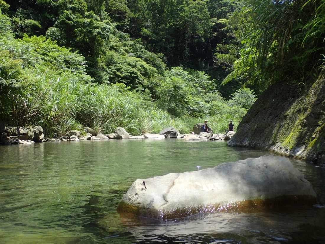
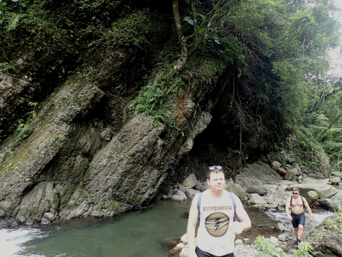
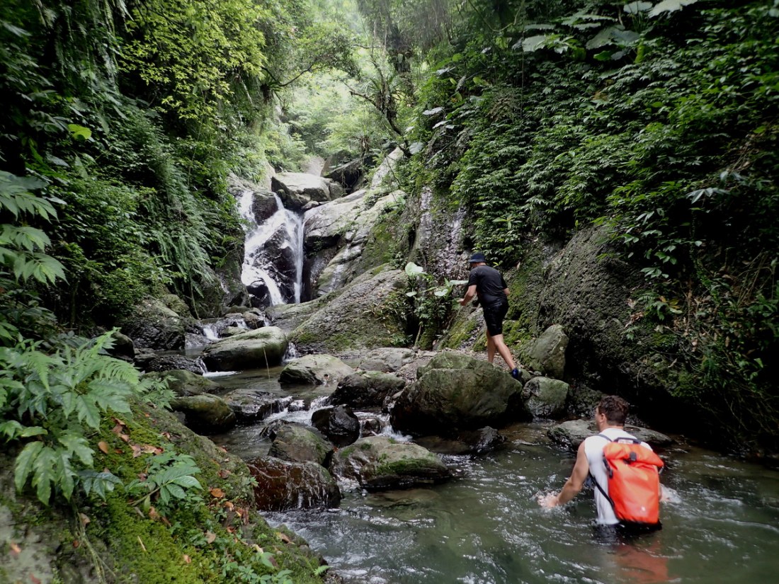
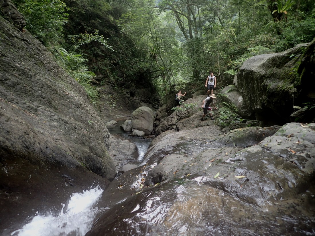
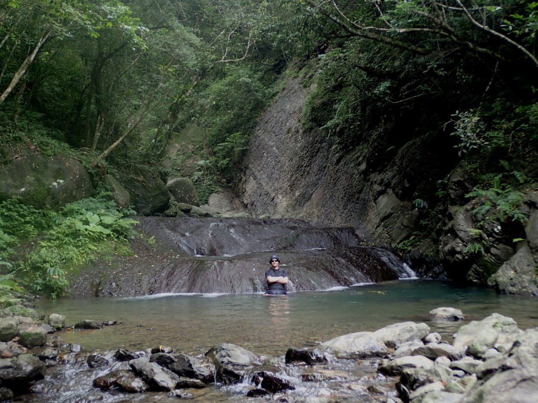
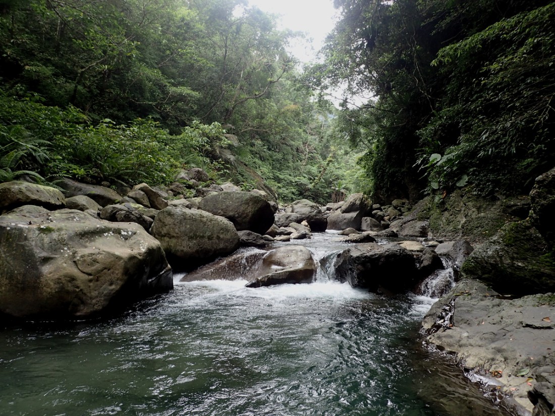
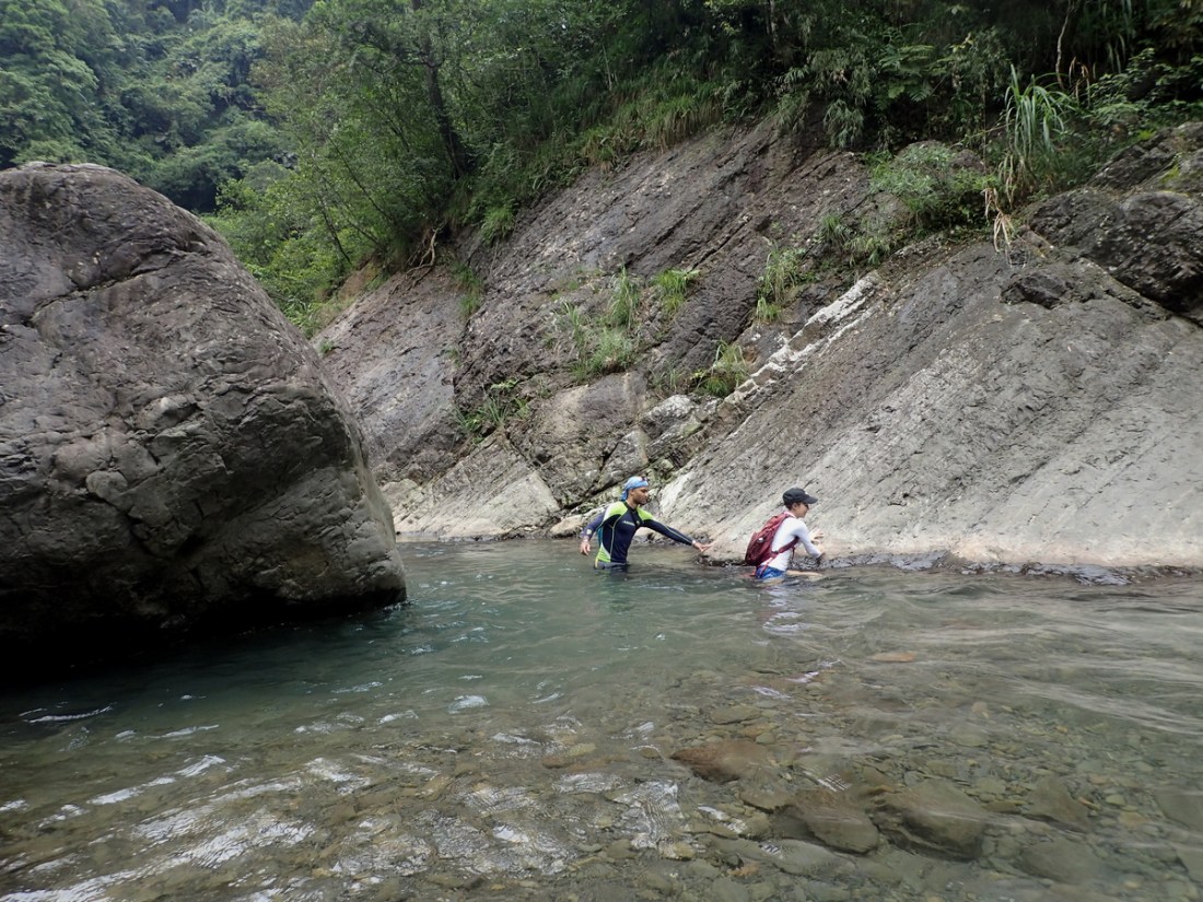
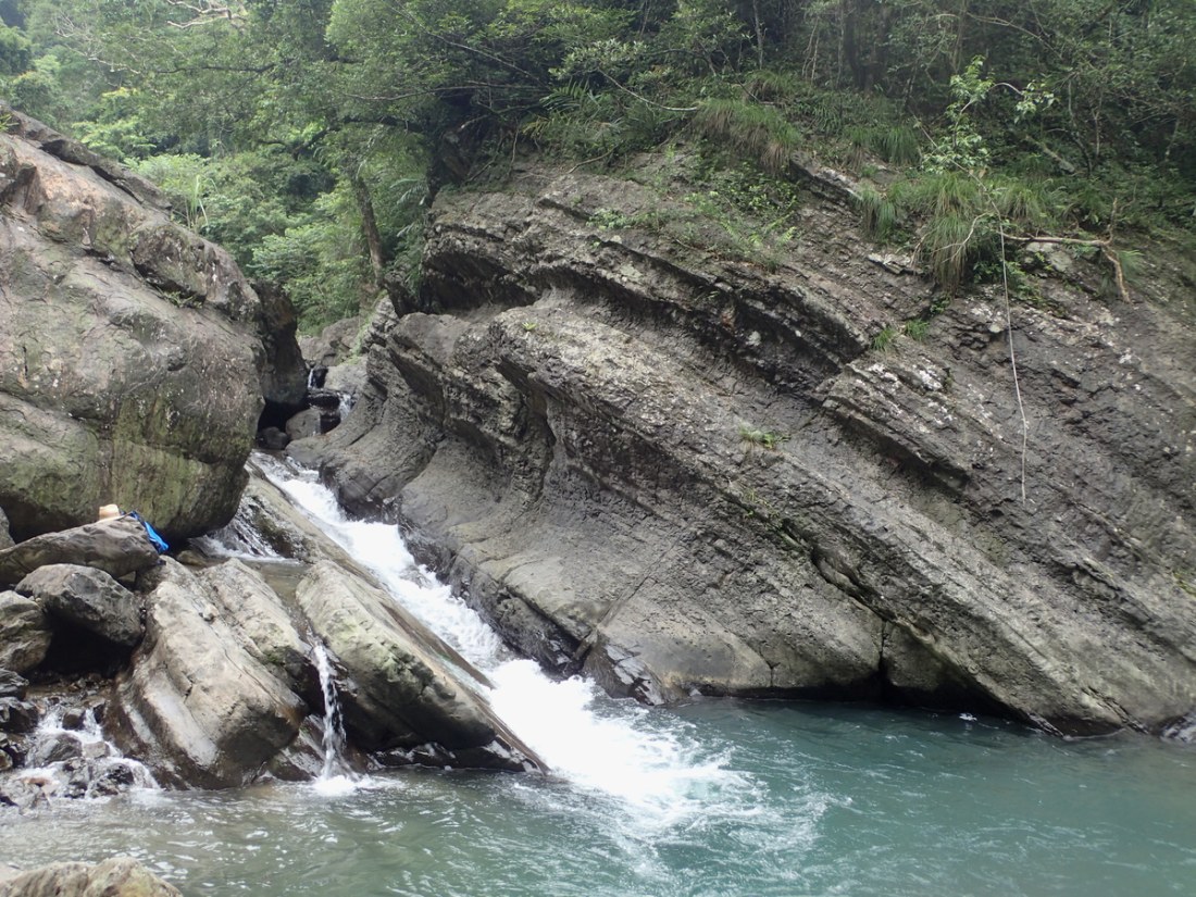
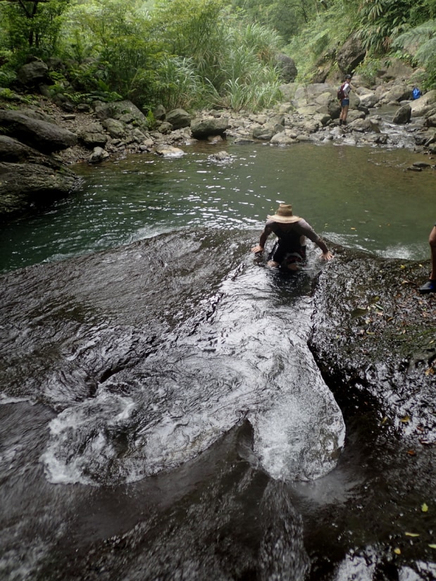
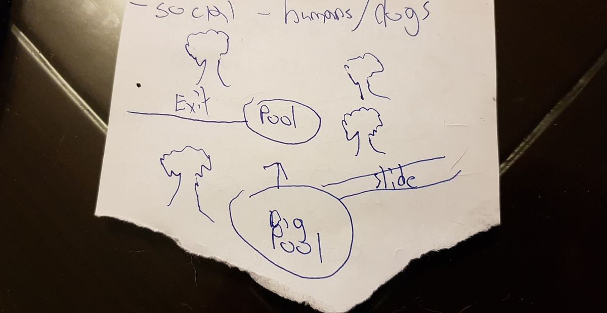
EditEasy trace located quite close to town. Perfect for someone just looking to get into river tracing. The ending GPS location will get you to an area with a big slide that is quite fun, and quite safe. The final pool is deep so make sure you know how to swim. Some people I know have taken dogs on this trace up until the waterslide so thats possible if you want to give it a go. You can take the left-hand fork away from the main pool you end up at and go slightly further up to find a small pool to relax in. It should be easy to recognize as it's shaped a bit like a very specific part of the male anatomy. You can either continue further up this stream, though it does get a harder quite and I wouldn't suggest it unless you more experienced (only went 20 mins up myself, though would like to go back with more time as it looks fun) or find a trail on your left-hand side if you're facing upstream you can use to walk back to where you started. If that all seems a bit confusing check the photos for a drawing


