River traces around Taipei, Taiwan
Filter Traces
-
Jay
River:
頭前溪 / Touqian creekArea:
TaipeiRegion:
NorthStart:
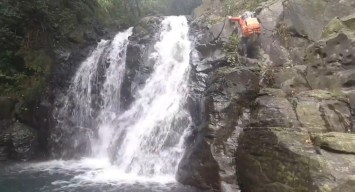
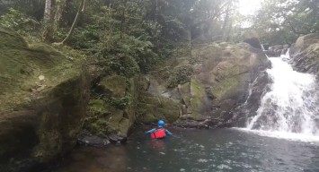
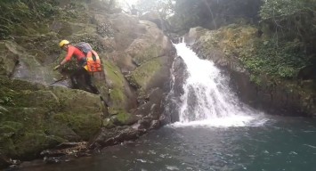
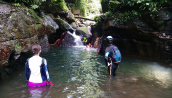
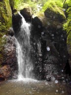
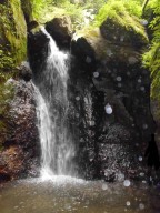
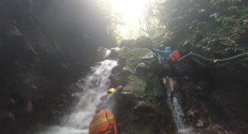
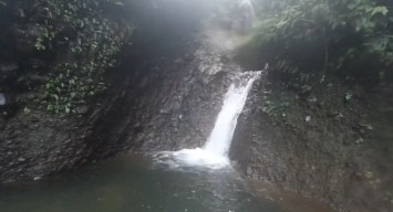
25.16947,121.61983There are two 5-meter waterfalls at the end of the river trace, and the more upstream one is Touqian Waterfall. Lujueping Old trail is by the creek. There are two 5-meter waterfalls at the end of the river trace, and the more upstream one is Touqian Waterfall. This river trace has a few pools and climbing, but beginners might not be able to climb o ... ver Touqian Waterfall, somewhat risky. -
Jay
River:
加九寮溪 / Jiajiuliao riverArea:
TaipeiRegion:
NorthStart:
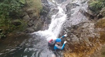
24.88487899290526, 121.53928875700635Water Slide:24.8777,121.52876 Jialiuliao creek is a popular spot for river tracing. The river trace is easy and the water is clean. There is a mountain trail leading to the water slide in the left fork. -
Jay
River:
瑪鋉溪 / Mǎ sù xīArea:
TaipeiRegion:
NorthStart:
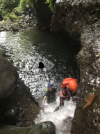
25.14775386901024, 121.60892842535722This river trace is fun for quite a few climbing-ups and there are a few pools. Ropes are suggested for those who don't climb well. -
Jay
River:
Fushi Creek / 富士溪Area:
TaipeiRegion:
NorthStart:
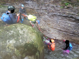
25.159130484288312, 121.62349388202338A natural bouldering gym. The river trace is short but has a lot of climbs. -
Jay
River:
茄苳溪 / Qiedong creekArea:
TaipeiRegion:
NorthStart:
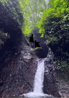
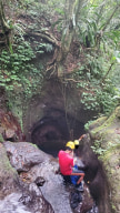
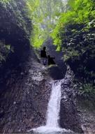
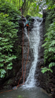
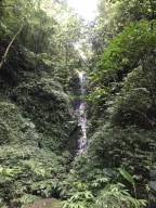
25.055072054092253, 121.67322103664804Dajianshan waterfalls group are here. It is a canyoning route and there are 3 tall waterfalls between 15-25 meters. The first one, tallest waterfall, can also be reached by river tracing upstream whereas canyoning is traveling downstream. The climbing-up to the third waterfall is nearly vertical, but the path to the second tall waterfall is not hard ... .
