Leading river traces regularly on my Meetup or Instagram 12 seasons a year.
-
Jay
River:
恰堪溪 / Qiakan creekArea:
HualienRegion:
EastStart:
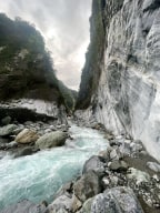
23.84323,121.41624Erzishan is a famous hot spring destination that stretches for hundreds of meters. Ranked as one of the ten most epic hot springs, Erzishan Hot Spring is located in Qiakan Creek, Hualien. The entire river tracing route takes about 4 to 6 hours and requires 10 to 20 river crossings. Due to the creek’s tendency to flood during rain, the hot spring can ... be difficult to access. -
Jay
River:
澳花溪 / Aohua riverArea:
YilanRegion:
EastStart:
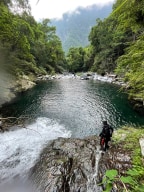
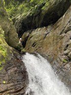
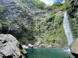
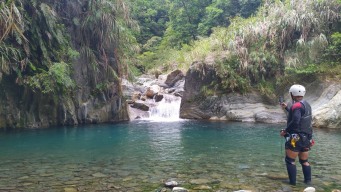
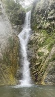
24.350508751927908, 121.73356879504816It wasn’t an easy route at all, but we were lucky and didn’t have much trouble reaching the final waterfall, the Mysterious Waterfall. The first part of the journey was along a trail filled with thorny vines—a type of green plant covered in thorns that grows in bushes. The dirt was loose, and the slope beside the trail was steep, making it easy to f ... all off. I heard a friend fell 20 meters off the trail but, miraculously, he was fine and made his way back up. At the end of the trail, we reached the first waterfall. The only way to go over it was to climb along the side, which was only possible when the area was fairly dry. Fortunately, there wasn’t too much water in the creek, so we climbed over it easily. We had planned to rappel here on the way back, but due to the low water flow, we were able to climb down directly through the waterfall. Afterward, as we walked further, we encountered the second obstacle: a vertical gap several meters high, with a steep, almost slippery slope at the top and barely any holds. Falling would mean landing on bare rock, but this was the only way up. Thankfully, a long rope was already in place, so we managed to get up with minimal risk. Not far from the last obstacle, we finally arrived at the Mysterious Waterfall and its massive pool. The waterfall stands around 50 meters tall, with a powerful flow that crashes into the rocks below. The pool is an impressive oval shape, about 100 meters long, 50 meters wide, and up to 5 meters in the deepest. Swimming in such a vast, natural pool was a wonderful and unique experience. On our return, we didn’t need to rappel and finished the trace in seven hours instead of the ten hours we had planned. In summary, the Mysterious Waterfall river trace was a challenging route that required thorough planning. However, we were fortunate, and everything went much more smoothly than we expected. -
Jay
River:
碧旦溪 / Bidan creekArea:
YilanRegion:
EastStart:
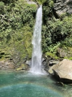
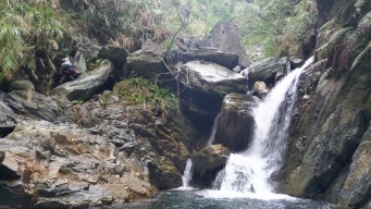
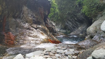
24.42521,121.71871Most people visit only the entrance area of this creek, where the famous gorge of Bidan is located. Bidan gorge, with its red brown stripes, looks like the small version of Hayou River. And the gate to Bidan gorge's hallway(not at the fork of the big creek, a bit farther) resembles to the one in Melberry Creek. Tracing in this section of the creek u ... sually takes only 1–2 hours at most, but it's quite beautiful. We traced all the way up to the final marked spot. Along the way, we passed two pools and their small waterfalls. The first pool was large and clean. We climbed along the edge of its small waterfall on the left side (facing downstream), which was not too difficult. The second pool, however, was more challenging. We climbed up on the left side (facing downstream) and set up a rope to descend onto the top of the waterfall. We left the rope there for our return. Soon, we saw the first tall waterfall, about 50 meters high, with a gentle flow. The creek split there, and we took the left fork (facing upstream). The terrain grew steeper, and we did quite a bit of climbing—very different from the flatter section before. The final climb up to the waterfall was a bit tricky due to unstable rock plates (I cut my finger on silver grass while climbing down). Finally, we reached the last waterfall, which had a unique shape and a beautiful pool. Overall, the trace was enjoyable and not particularly difficult for experienced tracers.
