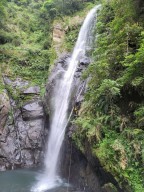
River traces around Hsinchu, Taiwan
Filter Traces
-
Jay
River:
爺巴堪溪 / Yebakan creekArea:
HsinchuRegion:
NorthStart:
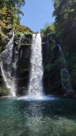
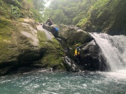
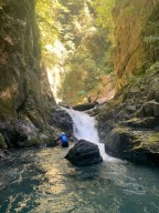
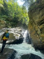
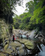
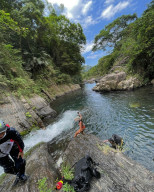
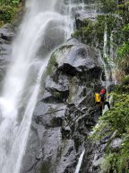
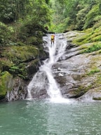
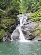
24.53689,121.09718Tracing Route: The trail from the starting point (24.53689,121.09718) to the creek is quite steep and slippery. A refreshing and nice small waterfall and its pool are at 24.53637,121.09613. After Baxian Waterfall 八仙瀑佈, you can either hike up the trail to the road at 24.53385, 121.09776 or trace up the creek to a steel bridge whose exit is at 24.53 ... 124,121.09533 in grass. Water is not recommended for drinking because the upstream part passes a bridge. -
Jay
River:
爺巴堪溪 / Yebakan creekArea:
HsinchuRegion:
NorthStart:
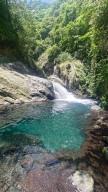
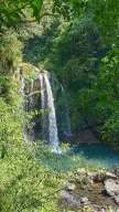
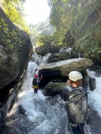
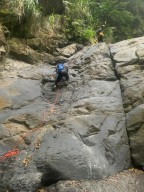
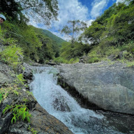
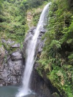
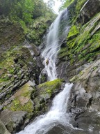
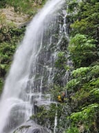
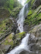
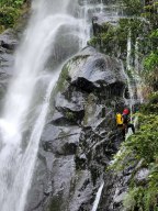
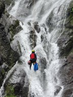
24.52955,121.09462Difficulty: 4/5 (experienced+know how to operate technical equipment) https://inprovefield28.wixsite.com/rivertraceintaiwan/post/scale-of-review-and-level-of-difficulty A beautiful creek. The water was clean. There is a lot of climbing in this creek. Rock climbing(7m): 24.52923,121.09562 (Rappeling is a better solution when going back.) 5m waterf ... all+rock climbing: 24.52633,121.10093 10m waterfall+destination: 24.52452,121.10176 -
Jay
River:
那羅溪 / Naluo creekArea:
HsinchuRegion:
NorthStart:
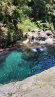
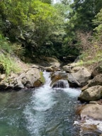
24.680089048830563, 121.25003255563297A fun river trace. The water flow is high and there are quite a few pools along the creek. The ending GPS spot is a beautiful canyon behind a natural slide. The water is not recommended for drinking because trash is dumped along the road to the ravine to the creek. -
Jay
River:
石磊溪 / Shilei creekArea:
HsinchuRegion:
NorthStart:
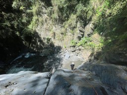
24.63383,121.34064A difficulty canyoning route. Tallest waterfalls are around 60 meters, but you need ropes that are much longer than that. -
Jay
River:
石磊溪 / Shilei creekArea:
HsinchuRegion:
NorthStart:
24.63383,121.34064A difficulty canyoning route. Tallest waterfalls are around 60 meters, but you need ropes that are much longer than that.
