No description added yet
Edit
-
 Jay
Jay
Tracing Route:
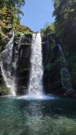
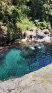
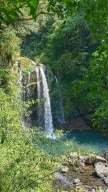
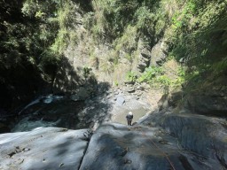
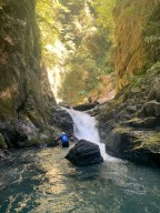
The trail from the starting point (24.53689,121.09718) to the creek is quite steep and slippery. A refreshing and nice small waterfall and its pool are at 24.53637,121.09613.
After Baxian Waterfall 八仙瀑佈, you can either hike up the trail to the road at 24.53385, 121.09776 or trace up the creek to a steel bridge whose exit is at 24.53
...
124,121.09533 in grass.
Water is not recommended for drinking because the upstream part passes a bridge.
-
 Jay
Jay
Difficulty: 4/5 (experienced+know how to operate technical equipment)
https://inprovefield28.wixsite.com/rivertraceintaiwan/post/scale-of-review-and-level-of-difficulty
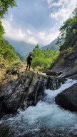
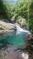
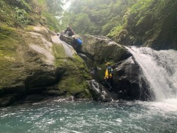
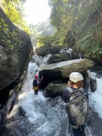
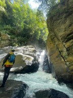
A beautiful creek. The water was clean. There is a lot of climbing in this creek.
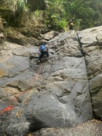
Rock climbing(7m): 24.52923,121.09562 (Rappeling is a better solution when going back.)
5m waterf
...
all+rock climbing: 24.52633,121.10093
10m waterfall+destination: 24.52452,121.10176
Jay
Jay
