Unknown
EditNo Chinese name added yet
EditNo description added yet
Edit-
Jay
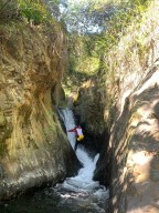
River:
UnknownArea:
UnknownRegion:
UnknownStart:
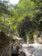
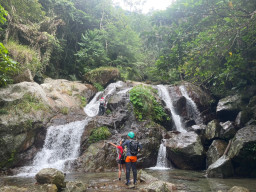
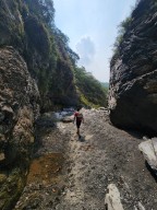
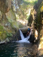
24.48479,121.7878You will pass water facility at the beginning of the trail. Then you need to climb up along the river for a while. The creek has only several small waterfalls ranging 3-5 meters. -
Gino
River:
UnknownArea:
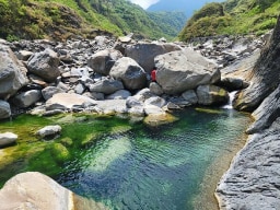
PingtungRegion:
SouthStart:
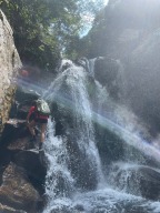
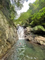
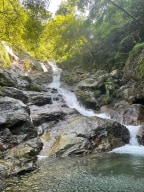
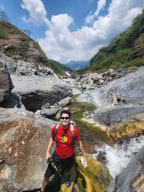
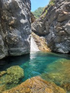
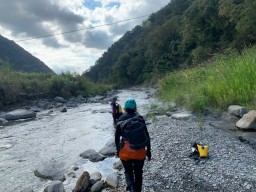
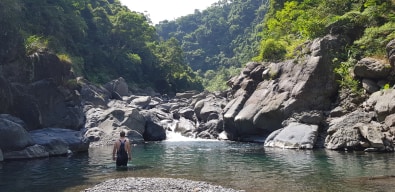
22.753066, 120.754527Really beautiful canyon with a view of the mountains around it visible nearly the whole time. We went during the dry season and the first 20 minutes or more of the trace actually had no water. However, once we got further up there were nice pools and areas of flowing water. On top of this, the final waterfall was great and had some nice spots on the ... side to climb up on the rocks if that's your jam. Quite a few people's cars' tire get stabbed here when they are off to river trace or hike, especially in peak seasons. The best way to prevent this is probably use the local's serice. -
River:
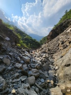
UnknownArea:
NantouRegion:
CentralStart:
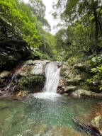
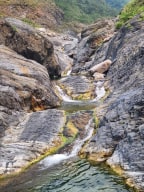
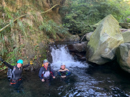
23.99786, 121.03935You need to go through thick silver grass to get to the main river. The three small waterfalls are near the fork. There is a trail by the river on the left side(facing downstream). Nothing special after the three waterfalls. A 1-hour river trace. -
 Mark
Mark
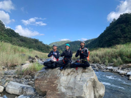
River:
UnknownArea:
TaipeiRegion:
NorthStart:
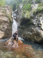
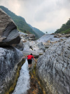
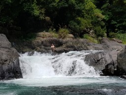
24.85745701317228, 121.5624583307028This is a very simple trace just south of the town in Wulai. The starting point is behind the blue pieces of sheet metal along the road, and there is a path behind them that leads to the the stream. It would be best for you to start here instead of by the elementary school because it is very easy to miss the exit. Depending on the water level, this ... trace can be categorized as easy to medium. Along the trace there are numerous pools to swim in.