Founder of Trace Taiwan. Most of the Traces you can find attached to my profile will be located fairly close to Taipei. Many of these can be completed in a single day if your willing to get up early.
-
Jay
River:
宇內溪 / Yunei riverArea:
TaoyuanRegion:
NorthStart:
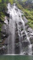
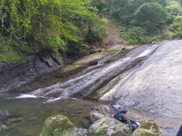
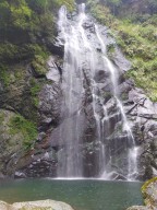
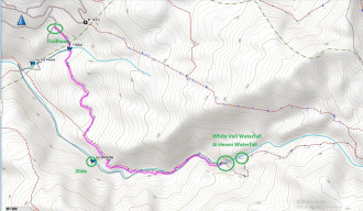
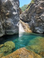
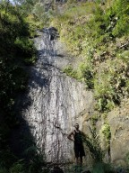
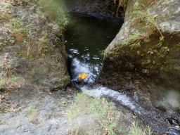
24.798278566799212, 121.418041988440311. This trace does not include the famous Yunei Slide (這裡不是宇內溪滑水道). The slide on this route is different from the well-known one. It can be confusing because both slides are in the same creek, but they are far apart, making it unlikely to visit both in a single trace. (The famous one: 24.790678871183513, 121.39577197890424) 2.!The GPS pin of White V ... eil Waterfall on Google Map is WRONG! The correct one is the one on our ending GPS. 3.Baisha Waterfall/White Veil Waterfall (白紗瀑布) is a serene and beautiful waterfall, standing at approximately 40 meters tall, with a large pool perfect for swimming. Above it, you can find Hewei Waterfall (赫威瀑布); to reach it, walk around on the left side. Further up, you can access the Hewei Divine Tree Area. 4.To embark on this river trace, it is safest to obtain the permit 5-60 days in advance from Chatianshan Nature Reserve (插天山保護區). The trailhead starts through a private farm residence called "Kapu No.17" (卡普17號). The parking fee at the residence should be around 100 NTD. Once you pay for your parking, the owner probably wouldn't bother to check if you have the permit. 5.To get to White Veil Waterfall, walk down the farm, and you'll reach a small stream soon. Cross the stream, and you'll find a hiking trail. The trail first goes around the mountainside, then stretches along the creek and eventually touches the creek. On the lateral part, the trail sometimes goes by the creek and sometimes merges in the creek. Finally, the trail completely disappears, and you can only river trace in the creek to the waterfall. 6.The creek is VERY SLIPPERY. Be extremely cautious while walking in the river. 7. Water Slide Location: 24.789783, 121.420900 Be very careful with this water slide. It is extremely slipper. Make sure to clear your path before you slide. I almost fucked myself up on a big sharp rock in the water but miraculously only got a scratch. -
Gino
River:
UnknownArea:
PingtungRegion:
SouthStart:
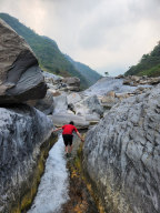
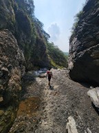
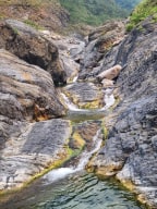
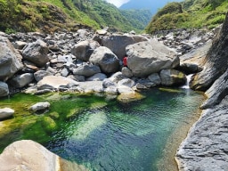
22.753066, 120.754527Really beautiful canyon with a view of the mountains around it visible nearly the whole time. We went during the dry season and the first 20 minutes or more of the trace actually had no water. However, once we got further up there were nice pools and areas of flowing water. On top of this, the final waterfall was great and had some nice spots on the ... side to climb up on the rocks if that's your jam. Quite a few people's cars' tire get stabbed here when they are off to river trace or hike, especially in peak seasons. The best way to prevent this is probably use the local's serice. -
Gino
River:
佳里溪 / Jiali riverArea:
TaitungRegion:
EastStart:
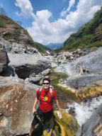
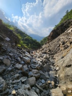
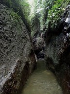
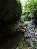
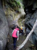
22.925440, 121.258232This is a really cool little river trace close to Dulan. You can park at the starting GPS point and shouldn't have much of an issue finding your way in from there. A good portion of this river trace is inside of a fairly narrow canyon. The views are great and the trace is a lot of fun. There were a couple of areas where you would want to be a fairly ... confident climber, or have someone go up first with a rope. When we went the water was quite low as it was the dry season. It could be a whole different type of trace when it's wet.
