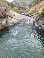
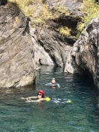
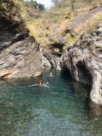
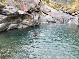
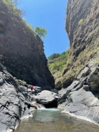
River traces around South Taiwan
Filter Traces
-
Jay
River:
牛角灣溪 / Niujiaowan creekArea:
PingtungRegion:
SouthStart:
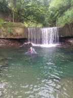
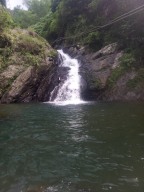
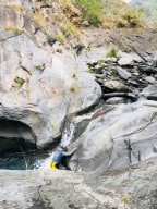
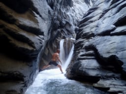
22.69625,120.64565Many waterfall and pools in this creek. Popular on weekends. OK for beginners. -
Jay
River:
卡地給洋溪 / Kadijiyang riverArea:
PingtungRegion:
SouthStart:
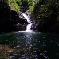
22.77165,120.71055Water in the river is very beautiful. The river has beautiful pools and many fish. There is a trail by mountainside, which leads further up. *Dejia Waterfall 德佳雙瀑 22.77313,120.70888 * Pools: 22.77254,120.70891; 22.77472,120.71071 *Tianhong Waterfall 天虹瀑布 22.77974,120.70953 -
Jay
River:
寶來溪 / Baolai riverArea:
KaohsiungRegion:
SouthStart:
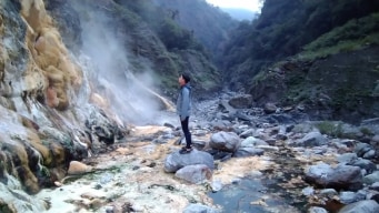
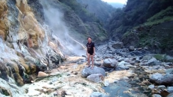
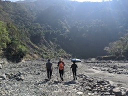
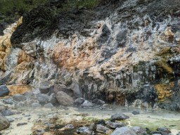
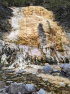
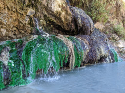
23.10118,120.7509Baolai Spring is a hot spring river that is full of hot springs. Qikeng is just across from the end of road. Shisankeng has a beautiful emerald green rock face and a very well built hot spring pool; it also has a big flat ground, which is ideal for camping. The way to Shisankeng is a little more challenging. Shisankeng also has space for camping. S ... hi'erkeng has been buried in the river bed for a long time. Wukeng is more suitable for jeeps because the hot spring source is small and an ideal pool can be built with a tarp and a pump. The road condition is bad from Xiaoguanshan Lumber Road(小關山林道) to the trailhead pinned on the page. Cars with higer chassis are suggested although one can still get here in a normal car. Road condition and the existence of some of the hot springs may change due to the volatile weather in Taiwan. However, Qikeng, Shikeng and Shisankeng are always there. An alternative route to Shisankeng is from an earth god temple(土地公廟 23.14164,120.79738). Park the car here and take the mountain trail all the way down to Baolai River. The part of the lumber road to the temple is even worse and only cars with high chassis can pass. The trail is steep and the dirt is loose. Hiking poles are suggested. Shidong 石洞 23.08558,120.72397 Wukeng 五坑 23.08775,120.73312 Qikeng 七坑 23.10175,120.75272 Shikeng 十坑 23.12076,120.78879 Shi'erkeng十二坑 23.12693,120.80625 Shisankeng 十三坑 23.12306,120.82734 Earth god temple 土地公廟 23.14164,120.79738 -
Gino
River:
溫泉溪 / Hot spring riverArea:
PingtungRegion:
SouthStart:
22.913160, 120.719110This was a nice little spot. Sadly we didn't make it very far up. We got to a portion with a waterfall that used to have a rope to help get up that had been removed. As we didn't have one to put into its spot we had to turn around. If we had one it may be possible to continue further up this river and connect this trace with this one https://www.tr ... acetaiwan.com/traces/81 -
Gino
River:
溫泉溪 / Hot spring riverArea:
PingtungRegion:
SouthStart:
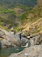
22.908394,120.7265542First off from the GPS point take the path on your right-hand side. It will get you in the water. Go upstream. Really REALLY great place. We went during a drought when nothing else around had any water and it was still a good time. As such I imagine this is best done during the dry season. There were a couple of climbs that weren't all that easy. I ... managed them and I am no pro, but you'll want to have had a bit of experience scrambling around rocks without ropes to get past a couple of the falls. There are also a couple of sections where there will be ropes along the side up into the jungle and around a couple of obstacles so keep an eye out for those. Some cool caves that would make a great place for a tent can also be found for anyone into that sorta thing.
