River traces around Yilan, Taiwan
Filter Traces
-
Jay
River:
澳花溪 / Aohua riverArea:
YilanRegion:
EastStart:
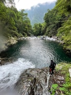
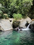
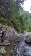
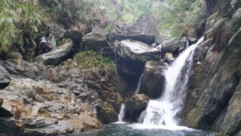
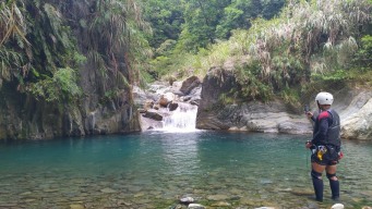
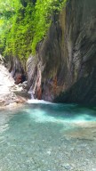
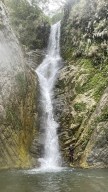
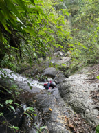
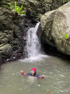
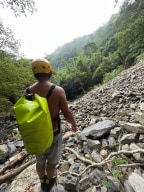
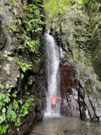
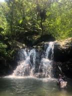
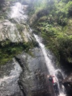
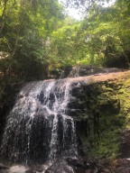
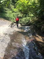
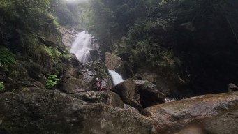
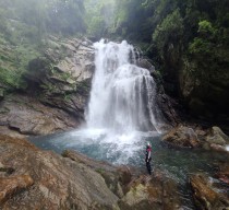
24.350508751927908, 121.73356879504816It wasn’t an easy route at all, but we were lucky and didn’t have much trouble reaching the final waterfall, the Mysterious Waterfall. The first part of the journey was along a trail filled with thorny vines—a type of green plant covered in thorns that grows in bushes. The dirt was loose, and the slope beside the trail was steep, making it easy to f ... all off. I heard a friend fell 20 meters off the trail but, miraculously, he was fine and made his way back up. At the end of the trail, we reached the first waterfall. The only way to go over it was to climb along the side, which was only possible when the area was fairly dry. Fortunately, there wasn’t too much water in the creek, so we climbed over it easily. We had planned to rappel here on the way back, but due to the low water flow, we were able to climb down directly through the waterfall. Afterward, as we walked further, we encountered the second obstacle: a vertical gap several meters high, with a steep, almost slippery slope at the top and barely any holds. Falling would mean landing on bare rock, but this was the only way up. Thankfully, a long rope was already in place, so we managed to get up with minimal risk. Not far from the last obstacle, we finally arrived at the Mysterious Waterfall and its massive pool. The waterfall stands around 50 meters tall, with a powerful flow that crashes into the rocks below. The pool is an impressive oval shape, about 100 meters long, 50 meters wide, and up to 5 meters in the deepest. Swimming in such a vast, natural pool was a wonderful and unique experience. On our return, we didn’t need to rappel and finished the trace in seven hours instead of the ten hours we had planned. In summary, the Mysterious Waterfall river trace was a challenging route that required thorough planning. However, we were fortunate, and everything went much more smoothly than we expected. -
Jay
River:
碧旦溪 / Bidan creekArea:
YilanRegion:
EastStart:
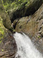
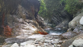
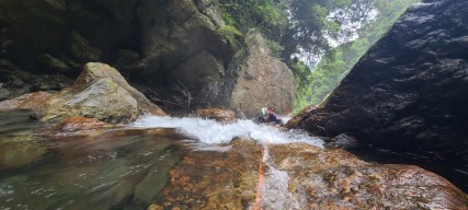
24.42521,121.71871Most people visit only the entrance area of this creek, where the famous gorge of Bidan is located. Bidan gorge, with its red brown stripes, looks like the small version of Hayou River. And the gate to Bidan gorge's hallway(not at the fork of the big creek, a bit farther) resembles to the one in Melberry Creek. Tracing in this section of the creek u ... sually takes only 1–2 hours at most, but it's quite beautiful. We traced all the way up to the final marked spot. Along the way, we passed two pools and their small waterfalls. The first pool was large and clean. We climbed along the edge of its small waterfall on the left side (facing downstream), which was not too difficult. The second pool, however, was more challenging. We climbed up on the left side (facing downstream) and set up a rope to descend onto the top of the waterfall. We left the rope there for our return. Soon, we saw the first tall waterfall, about 50 meters high, with a gentle flow. The creek split there, and we took the left fork (facing upstream). The terrain grew steeper, and we did quite a bit of climbing—very different from the flatter section before. The final climb up to the waterfall was a bit tricky due to unstable rock plates (I cut my finger on silver grass while climbing down). Finally, we reached the last waterfall, which had a unique shape and a beautiful pool. Overall, the trace was enjoyable and not particularly difficult for experienced tracers. -
Jay
River:
梗枋溪 / Gengfang creekArea:
YilanRegion:
EastStart:
24.90694,121.85342The creek is short, but the trek took us more time than expected. We planned to finish it in about 2 hours, but surprisingly, it took 4 hours. The creek is full of shrimp, and we spent quite a bit of time watching them. There was also some climbing along the creek. We encountered the first small waterfall/obstacle just dozens of meters from where we ... entered the water. It was about 3 meters high. I carefully climbed up and found a rope lying at the top, which then I threw down for the others. The rope seemed to have been there for over a decade. Climbing down would have been nearly impossible without it. Then, we entered a small gorge with a large boulder blocking the creek, forming a very small waterfall about 2.5 meters high, just barely qualifying as one. This "waterfall" pool was the only spot where we could fully soak ourselves. After about 50 minutes of tracing the creek, we reached the main waterfall. It was in the right fork, and there was a massive landslide just 10 meters away from it. The strong flow of water poured down from this 10-meter waterfall (but keep in mind, this was a week after a typhoon). We took pictures, enjoyed the natural spa, and had our lunch there. We did this trace a week after a typhoon and the water flow was satisfying. I can imagine how dry the creek could be during a dry period. In general, creeks in Toucheng are often a good choice after heavy rain. -
Jay
River:
石門溪 / Shimen creekArea:
YilanRegion:
EastStart:
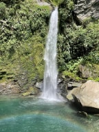
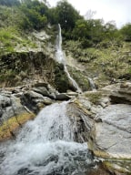
24.95185,121.91021The first waterfall is at 24.96,121.9085. It's 4 meters and has a nice pool to chill. On top of it are another two pools and you can jump into them. Trace further up for another 40 minutes-1 hour and you'll get to a 8-m waterfall. If you go above the 8-meter waterfall, two really tall waterfalls are around the corner. The one on the main stream is ... around 20-25 meters tall, and the other one on the left fork is also around that height. We went around the waterfall on the right side(facing downstream) and did a little bushwhack, but it was quite easy in general. There's webbing and a rope on the other side but it looked very sketchy to climb up, so we didn't go up on the left side(facing downstream). Shimen Creek is not only easy but also quite traffically available, just a train ride and a taxi from Dali 大里 or Daxi 大溪 station and you'll get to the trailhead. -
Jay
River:
仲岳溪 / Zhongyue creekArea:
YilanRegion:
EastStart:
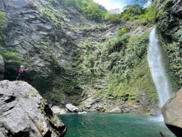
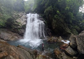
24.41518,121.73927I visited the location a week after the typhoon had passed, resulting in the waterflow being 2.5 times its usual rate. I believe tracing the path is much easier under normal waterflow conditions. On that day, I encountered numerous waterholes. We drove down to the end and began walking along a trail towards the GPS spot. The creek serves as a water ... source for the village below, with visible pipes. The first waterfall was particularly enchanting, featuring a beautifully serene pool in front of it (I'm uncertain if it was at coordinates 24.41096, 121.73626). Up until this point, the creek was characterized by large rocks and a swift current, without anything noteworthy to document. As we approached the final waterfall, the boulders grew larger, and the terrain became steeper. 300 meters away from the destination, we walked around along the mountainside on the right side of the creek (facing downstream). We descended into the valley on a rope I set up to a tree, and left it there for our return. Close to where we descended with the rope, we encountered the most challenging part of the river tracing. A precarious rope was hanging in a strong current. Due to the high risk and time constraints (we had set off late), I initially considered retreating. However, David (The Map Room) managed to climb the rope, which had been there for who knows how long. I was reluctant to use the same rope, so I passed my rope to him to set up a rope for me to cross the boulder. The potential danger was immense – being swept away by the powerful current or the rope breaking could lead not only to a dangerous fall but also to potential death from the waterhole (as everything seemed like a waterhole that day). I asked about his assessment of the climb, and he estimated an 80% chance of success. Well, not my style, but he's much stronger than me. On the return journey, we rappelled down instead of using the rope in the water. Around 100 meters beyond the previous obstacle, there was a 15-meter slanted waterfall. We circumvented it on the left side. Although there were two small ropes visible (which I didn't use), the area in front of the waterfall presented challenges. If you managed to reach this point, you should be relatively fine here. The rocks were extremely slippery here. We witnessed the tremendous rush of water cascading from the height of 45 meters into a pool and roaring through the gorge. Adjacent to the pool, the water was squeezed between two large rocks, creating a secondary 3-meter waterfall as it dropped. The sight was truly amazing, leaving us both astounded and thrilled. However, the journey wasn't over. A path existed on the right side of a large rock (facing downstream). David managed to climb over, but he was uncertain about the stability of the worn rope hanging there. I secured a rope and slings around the rope anchor for safety. Upon climbing up to the anchor rock, the powerful current was right beside and below us, flowing between the two massive rocks. With caution, we descended and walked through the water while holding onto the rope. The water level was so high that it reached my chest. It weirdly reminded me the time in the gorges of Jianianduan when I fought against currents. Finally, we reached the front of the waterfall. It has a resemblance to Yuemeikeng but with a waterflow seven times stronger. During our return, I held a rope attached to David and descended first, carefully seeking footholds and avoiding potential waterholes. Then, I guided him down. At high water flow, the difficulty is undoubtedly at a 5/5 level. I can't speculate on how this would be under normal waterflow conditions--definitely much easier!
