Jay
Jay
Starting Location
Edit 24.90694,121.85342Ending Location
Edit 24.91674,121.85146Time needed
Edit3-4 hours.
Safety
EditInfo not yet provided, feel free to add it,
Equipment
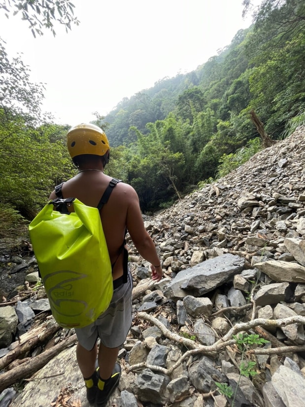
EditHelmets and river tracing boots.
General information
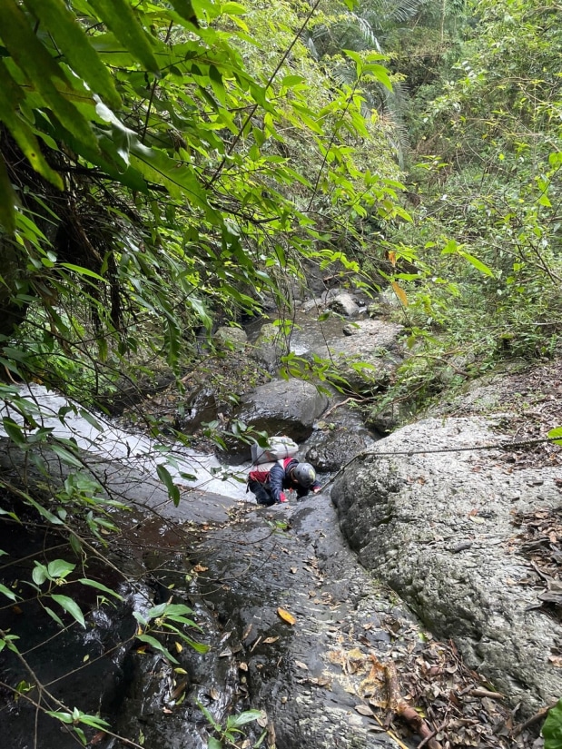
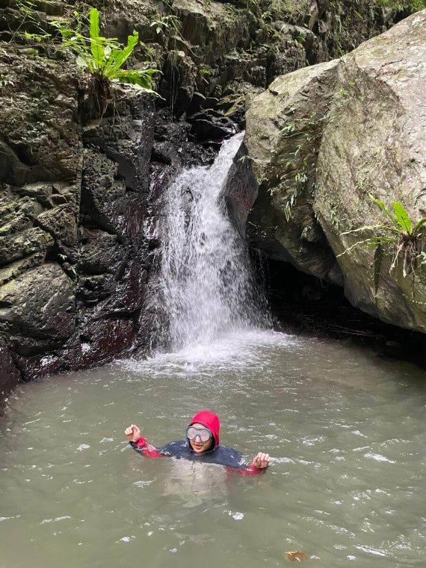
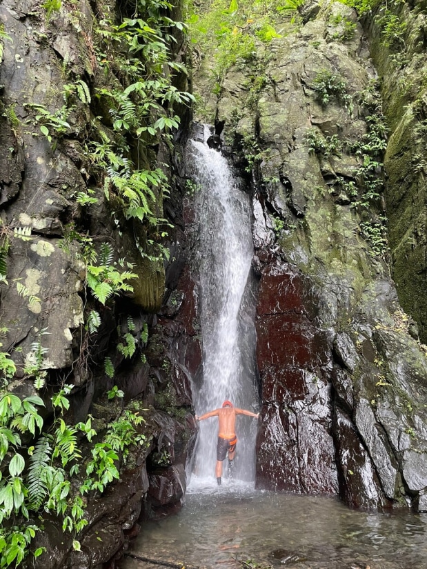
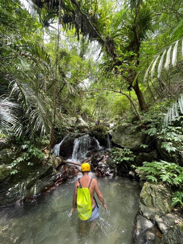
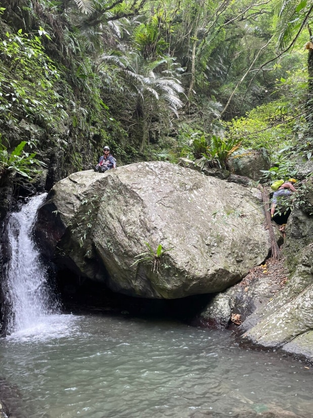
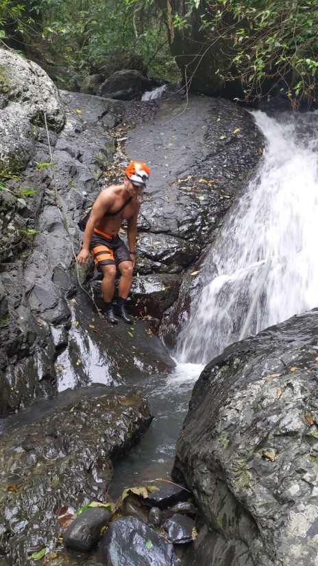
EditThe creek is short, but the trek took us more time than expected. We planned to finish it in about 2 hours, but surprisingly, it took 4 hours. The creek is full of shrimp, and we spent quite a bit of time watching them. There was also some climbing along the creek. We encountered the first small waterfall/obstacle just dozens of meters from where we entered the water. It was about 3 meters high. I carefully climbed up and found a rope lying at the top, which then I threw down for the others. The rope seemed to have been there for over a decade. Climbing down would have been nearly impossible without it. Then, we entered a small gorge with a large boulder blocking the creek, forming a very small waterfall about 2.5 meters high, just barely qualifying as one. This "waterfall" pool was the only spot where we could fully soak ourselves. After about 50 minutes of tracing the creek, we reached the main waterfall. It was in the right fork, and there was a massive landslide just 10 meters away from it. The strong flow of water poured down from this 10-meter waterfall (but keep in mind, this was a week after a typhoon). We took pictures, enjoyed the natural spa, and had our lunch there. We did this trace a week after a typhoon and the water flow was satisfying. I can imagine how dry the creek could be during a dry period. In general, creeks in Toucheng are often a good choice after heavy rain.