Jay
Jay
Starting Location
Edit 23.3871,121.29691Ending Location
Edit 23.38284,121.27394Time needed
Edit9 hours.
Safety
EditInfo not yet provided, feel free to add it,
Equipment
EditHelmets, tracing boots and a rope. Long sleeves clothes and gloves for bushwhacking.
General information
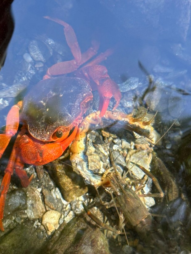
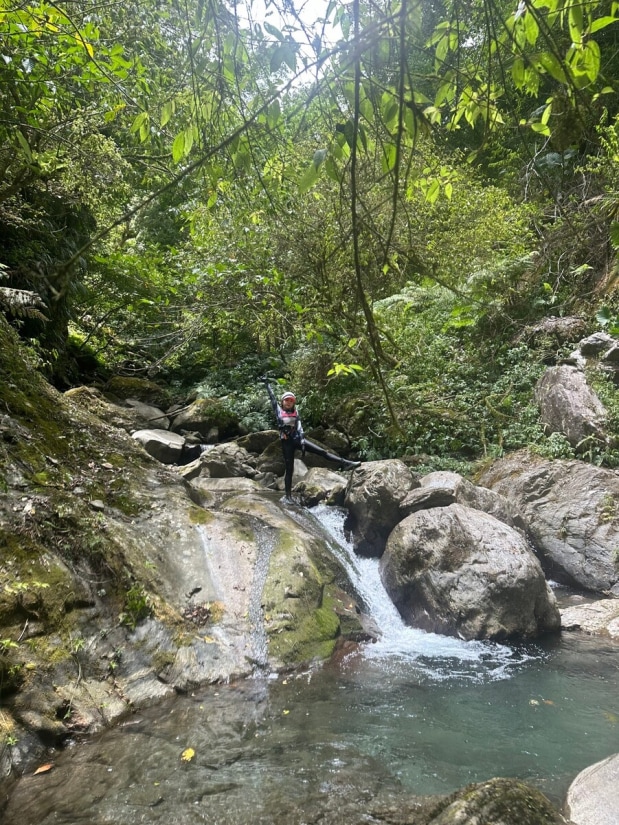
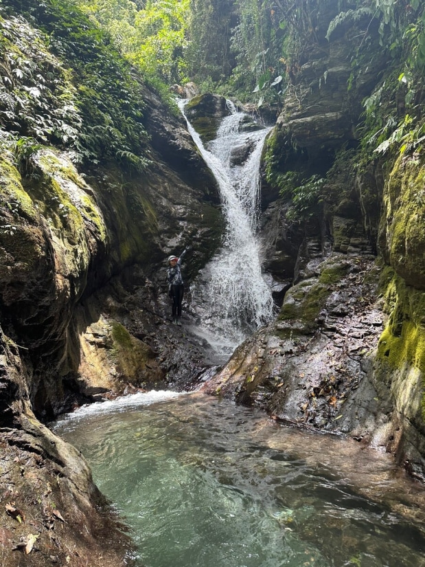
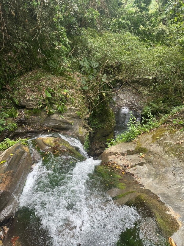
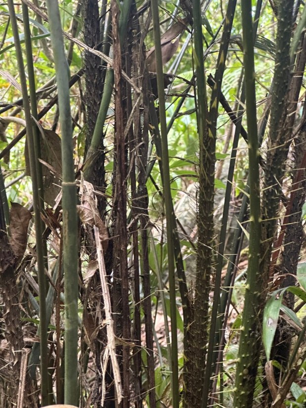
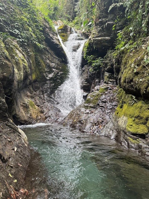
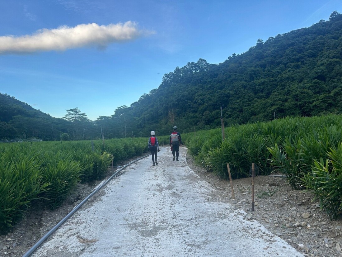
EditWe went to a tributary of Zhongping Creek (中平溪). We walked mostly on the hunting trail from the beginning to the fork, which took us two hours to reach and one hour to return. The trail was not easy to navigate because it was full of bushes. The creek is full of life. We saw a lot of fish, big crabs, and shrimp. We even saw a barking deer falling toward us and running away. We also saw a goat on a slope, but it quickly fled. We were amazed by how much wildlife we encountered. We visited two waterfalls in the tributary. They were close to each other. The first one has a beautiful shape like the one in Qiedong Creek (茄苳溪) or Jianshanhu (尖山湖瀑布). We went up the waterfall by its right side (facing downstream). The bushwhacking was full of thorn vines—quite painful. We carefully climbed through bushes and thorn vines and set up a rope to climb back down to the creek. The second waterfall was just ahead of us. It was a 50-meter waterfall and looked very similar to 九龍瀑布 (Nine Dragons Waterfall) in Pingxi. If you trace up Zhongping Creek instead of its tributary, you might reach Valau Waterfall. It's giant and can be seen from satellite images. However, the trace takes 12-13 hours and requires skills and massive stamina.