 Jay
Jay
Starting Location
Edit 24.62341,121.62981Ending Location
Edit 24.63327,121.64039Time needed
Edit5-8 hours whole trip.
Safety
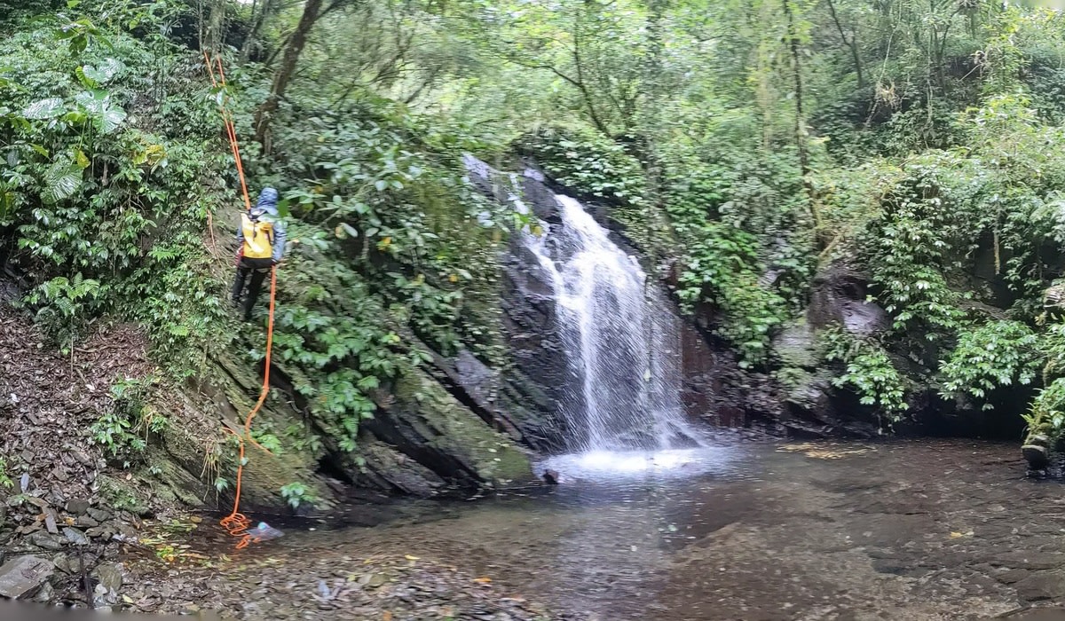
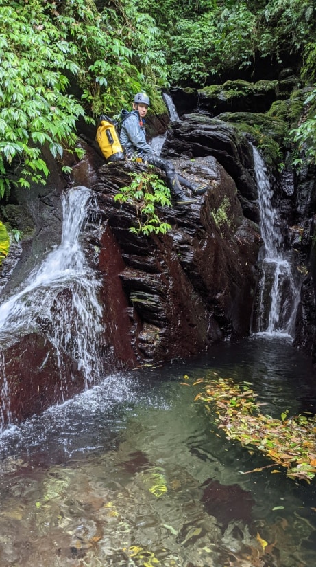
EditVery slippery mountainsides along the river. At the left fork, you need to find your way up by the waterfall and you might need to rappel on your way back.
Equipment
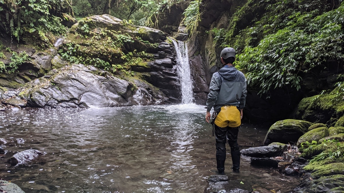
EditHelmet, river tracing boots, and at least a 15m rope.
General information
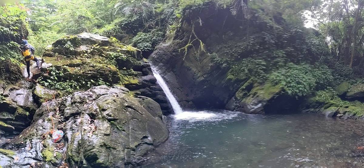
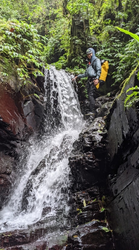
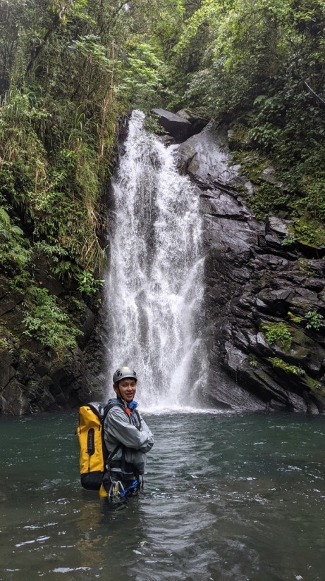
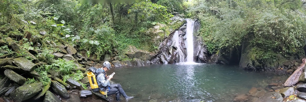
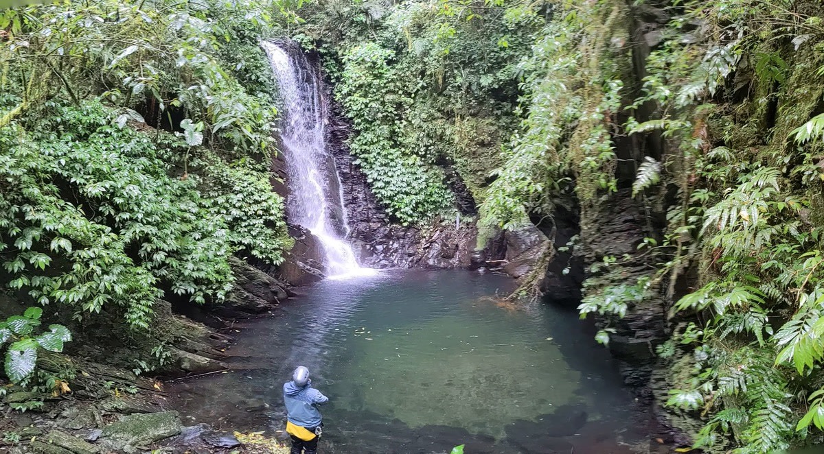
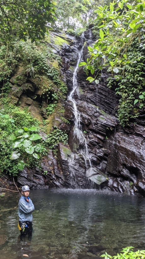
Edit12 tall waterfalls ranging from 3 to 10 meters in the mainstream and its left fork. 6 smaller waterfalls. Quite a lot pools in this river at the bottom of the waterfalls. Difficulty: 🔥🔥🔥🔥 (4/5) https://inprovefield28.wixsite.com/rivertraceintaiwan/post/scale-of-review-and-level-of-difficulty


