 Gino
Gino
Starting Location
Edit 23.337175, 120.616957Ending Location
Edit 23.3490517,120.6184787Time needed
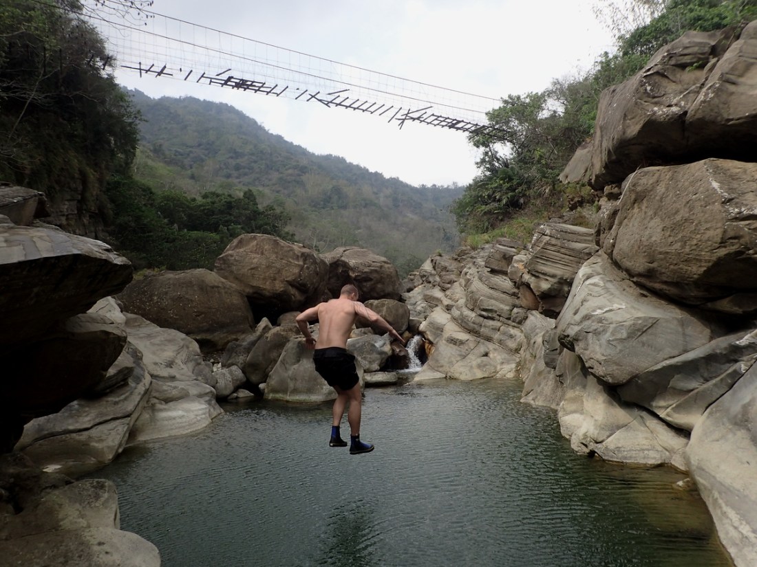
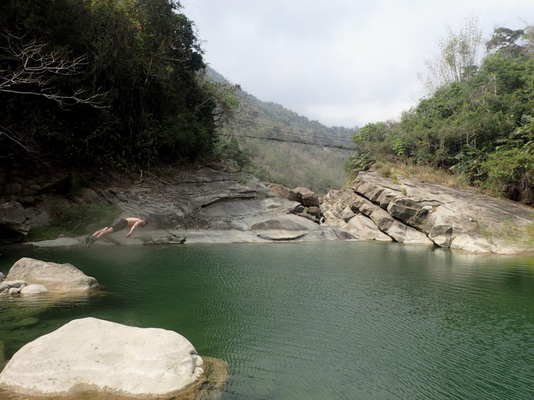
EditAbout 4 hours, we spent a lot of time swimming and pools and hanging at waterfalls. Also used the road to get back faster.
Safety
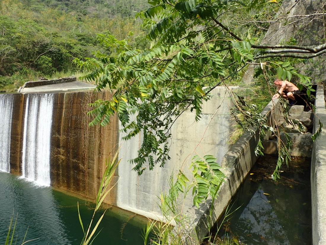
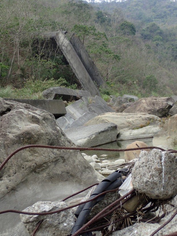
EditEven in the dry season a fair bit of water. There are also a few old broken dams or roads that collapsed into the main part of the river that to blame for some exposed rebar.
Equipment
EditTracing shoes and a lifejacket if you're bad at swimming.
General information
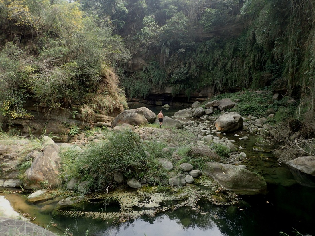
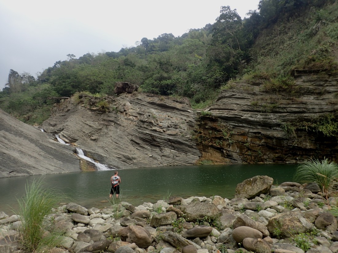
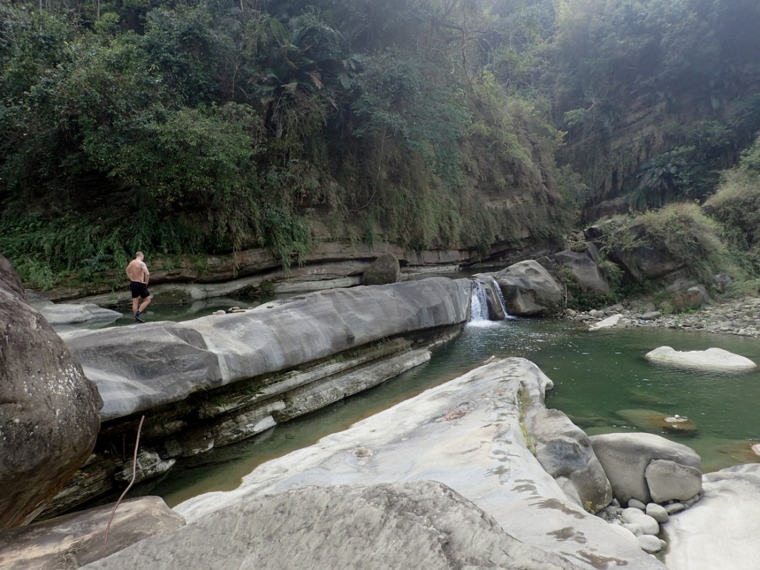
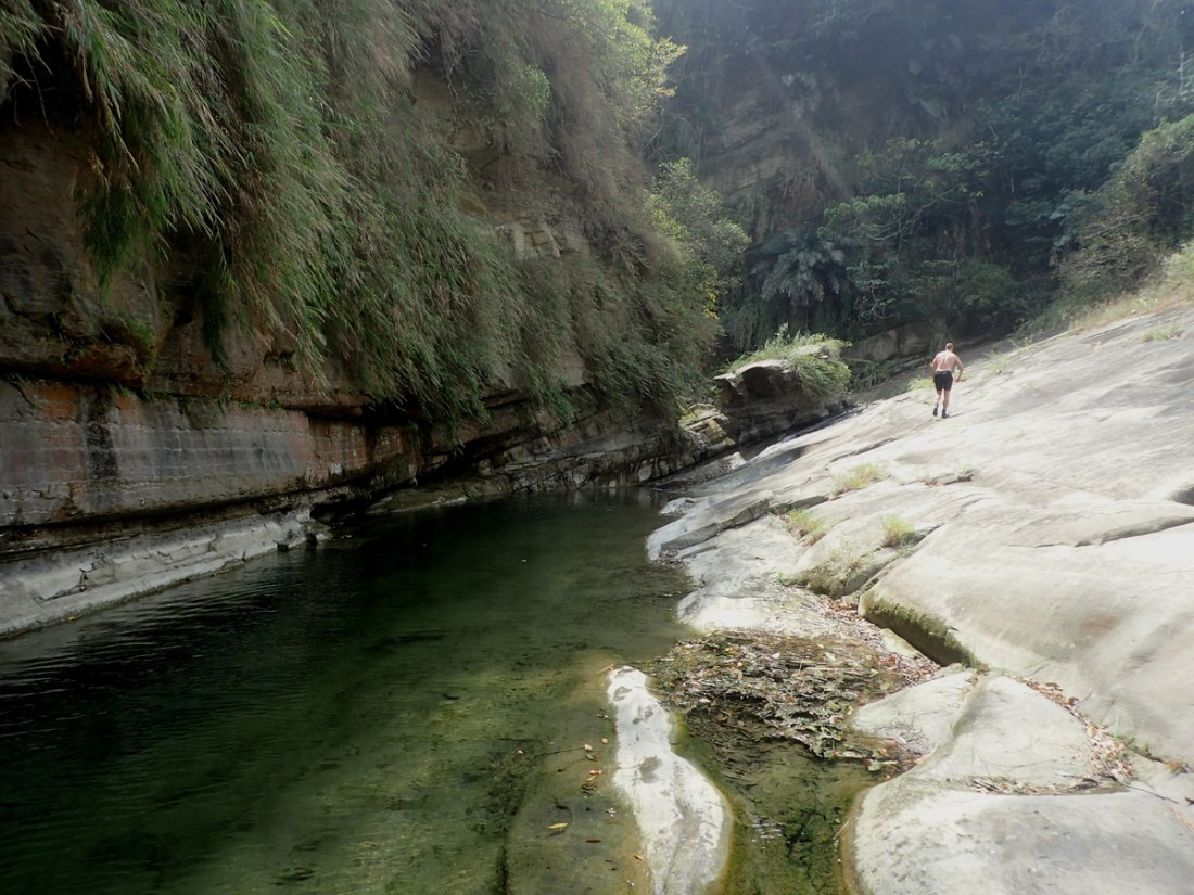
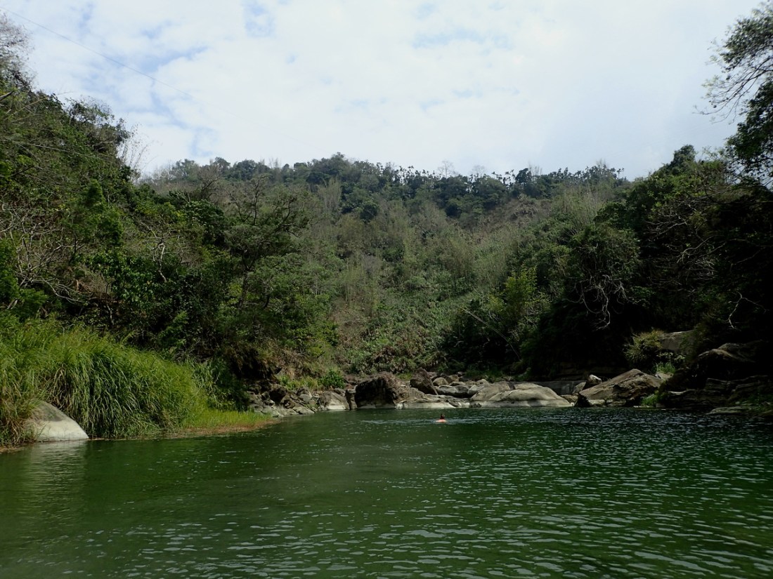
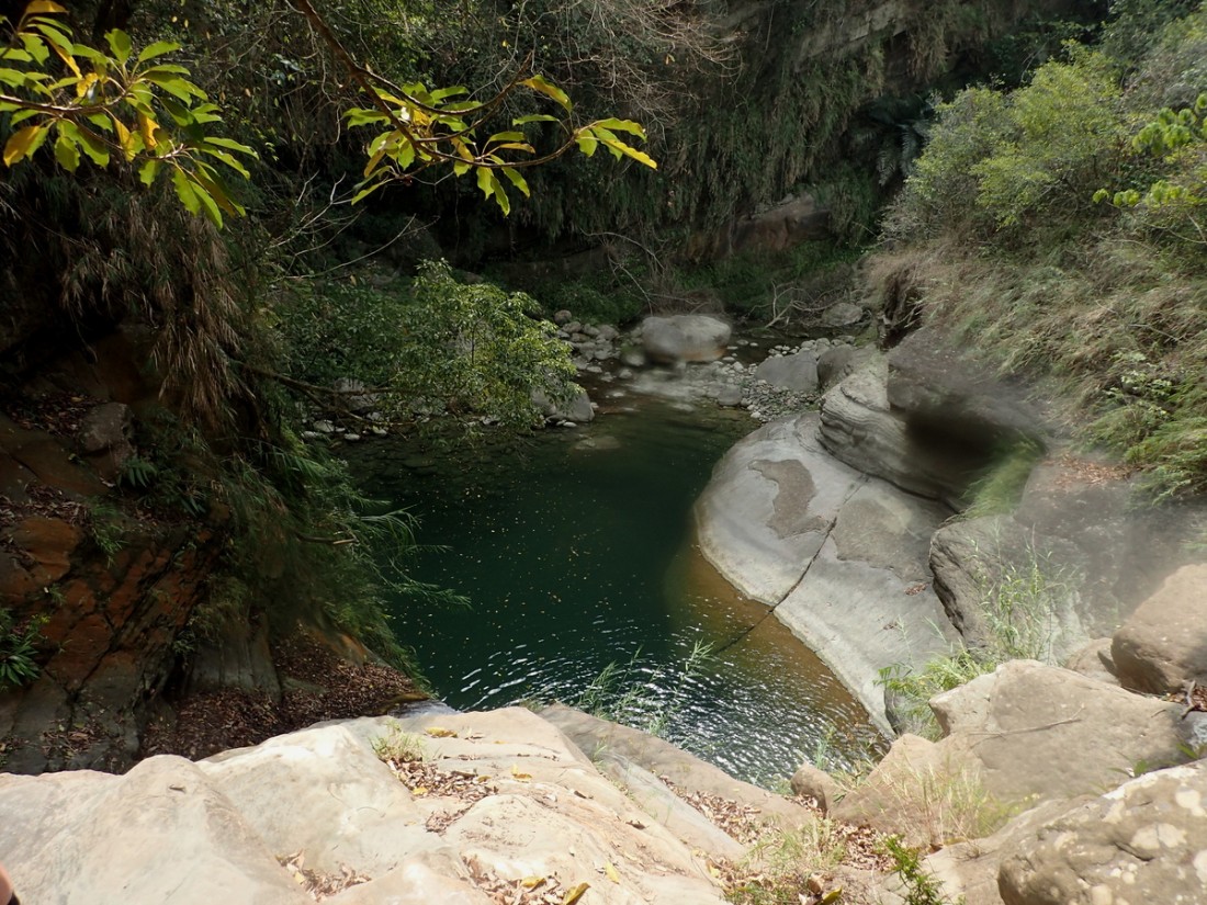
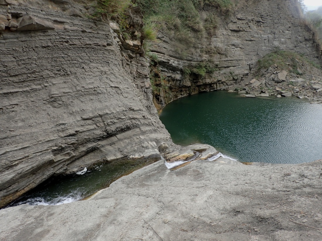
EditReally fun trace. Lots of nice deep pools to swim in and waterfalls to enjoy. You'll notice a fairly distinct branching of the river not long after you start. I suggest following the side branch (right-hand side) for a bit and hitting up the waterfall it has to offer. They the best ones you'll find. Once the terrian gets flat double back and head up the main branch towards the ending GPS location. You will be able to get out of the water there and walk back along the highway.


